

NWS KUNR · Warning · Ended
High Wind Warning
Area unavailable
- Issued
- Begins
- Ended
- Severity
- Severe
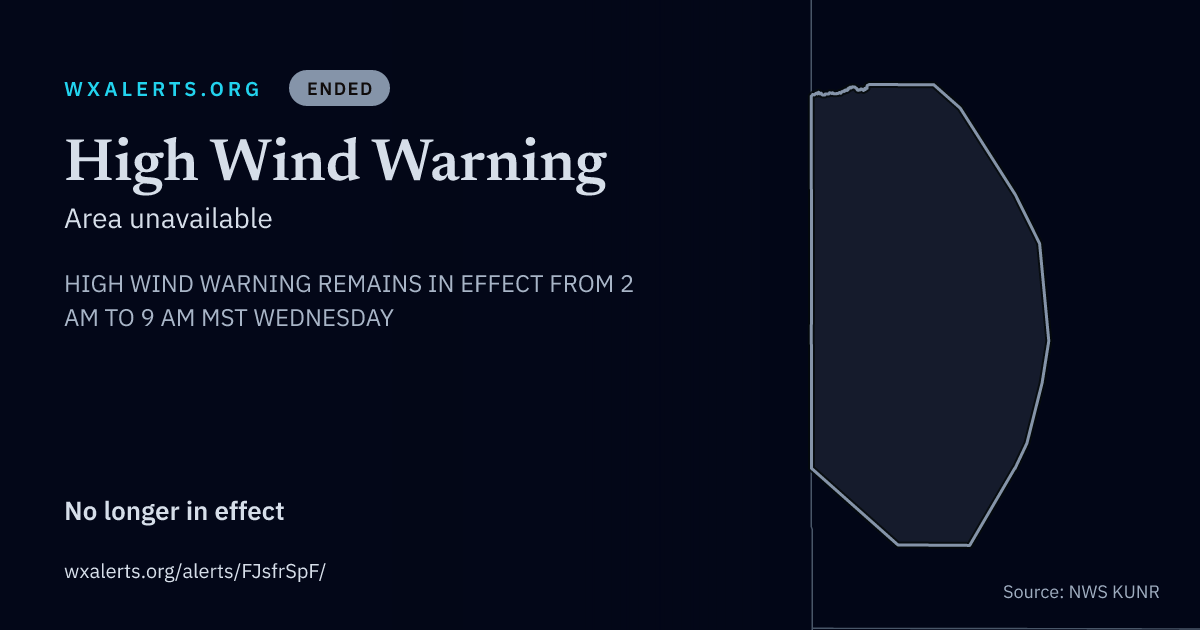
HIGH WIND WARNING REMAINS IN EFFECT FROM 2 AM TO 9 AM MST WEDNESDAY
Northern Black Hills-Northern Foothills-Rapid City-Southern Foothills-Central Black Hills-Southern Black Hills- Sturgis/Piedmont Foothills-Hermosa Foothills- Including the cities of Argyle, Rapid City, Wind Cave, Lead, Whitewood, Saint Onge, Brownsville, Black Hawk, Hill City, Rockerville, Jewel Cave, Spearfish, Terry Peak, Nemo, Summerset, Hisega, Galena, Mystic, Fairburn, Rochford, Hot Springs, Tilford, Mt Rushmore, Cheyenne Crossing, Piedmont, Keystone, Pringle, Johnson Siding, Custer, Buffalo Gap, Deerfield, Pactola Reservoir, Angostura Reservoir, Sturgis, Silver City, Custer State Park, Hermosa, and Deadwood
What's happening
West winds 25 to 35 mph with gusts up to 60 mph expected, particularly on the higher peaks and eastern and northeastern slopes of the Black Hills.
Where
Portions of northwestern, southwestern, and the Black Hills of South Dakota.
When
From 2 AM to 9 AM MST Wednesday.
What to expect
The high winds may damage roofs, small outbuildings, and signs. Power outages are possible. Travel could be difficult, especially for high profile vehicles. Strong winds can cause blowing dust, reduced visibility, and flying debris.
What to do
People are urged to secure loose objects that could be blown around or damaged by the wind.
A High Wind Warning means 40 mph winds, or gusts over 60 mph, are expected. If you are outdoors, watch for flying or falling objects that may injure you. Use caution if you must drive.
The text above is the National Weather Service's own. WxAlerts.org reformats it for reading and is not the issuing authority. Reference FJsfrSpF · VTEC KUNR.HW.W.0010.2026.