

NWS KBRO · Statement · Ended
Rip Current Statement
Area unavailable
- Issued
- Ended
- Severity
- Moderate
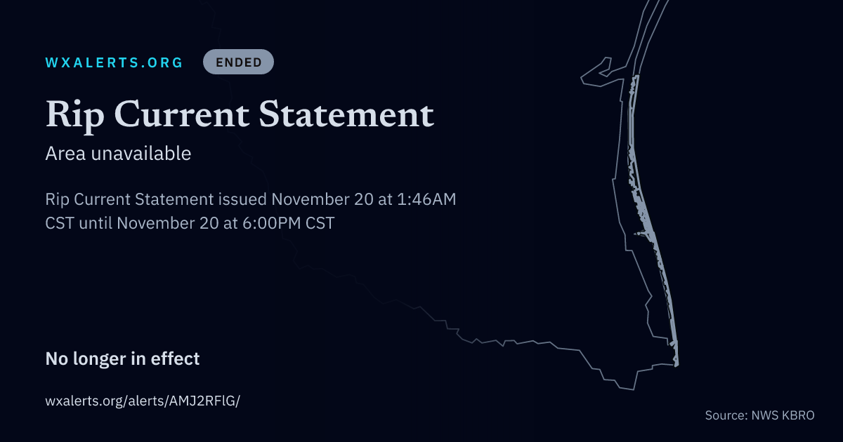
Rip Current Statement issued November 20 at 1:46AM CST until November 20 at 6:00PM CST by NWS Brownsville TX
What's happening
For the Coastal Flood Advisory, minor coastal flooding. For the High Rip Current Risk, dangerous rip currents.
Where
Kenedy Island, Willacy Island and Cameron Island Counties.
When
For the Coastal Flood Advisory, until 6 PM CST this evening. For the High Rip Current Risk, through this afternoon.
What to expect
Nuisance flooding is expected, with water reaching or pushing into the dunes on South Padre Island. Vehicles, except those with four wheel drive and high wheel bases, will be unable to be driven on the beach. This includes locations north of Public Beach Access #3. Minor to moderate beach erosion is expected. Rip currents can sweep even the best swimmers away from shore into deeper water.
What to do
If travel is required, allow extra time as some roads may be closed. Do not drive around barricades or through water of unknown depth. Take the necessary actions to protect flood-prone property.
Swim near a lifeguard. If caught in a rip current, relax and float. Don't swim against the current. If able, swim in a direction following the shoreline. If unable to escape, face the shore and call or wave for help.
The text above is the National Weather Service's own. WxAlerts.org reformats it for reading and is not the issuing authority. Reference AMJ2RFlG · VTEC KBRO.RP.S.0025.2026.